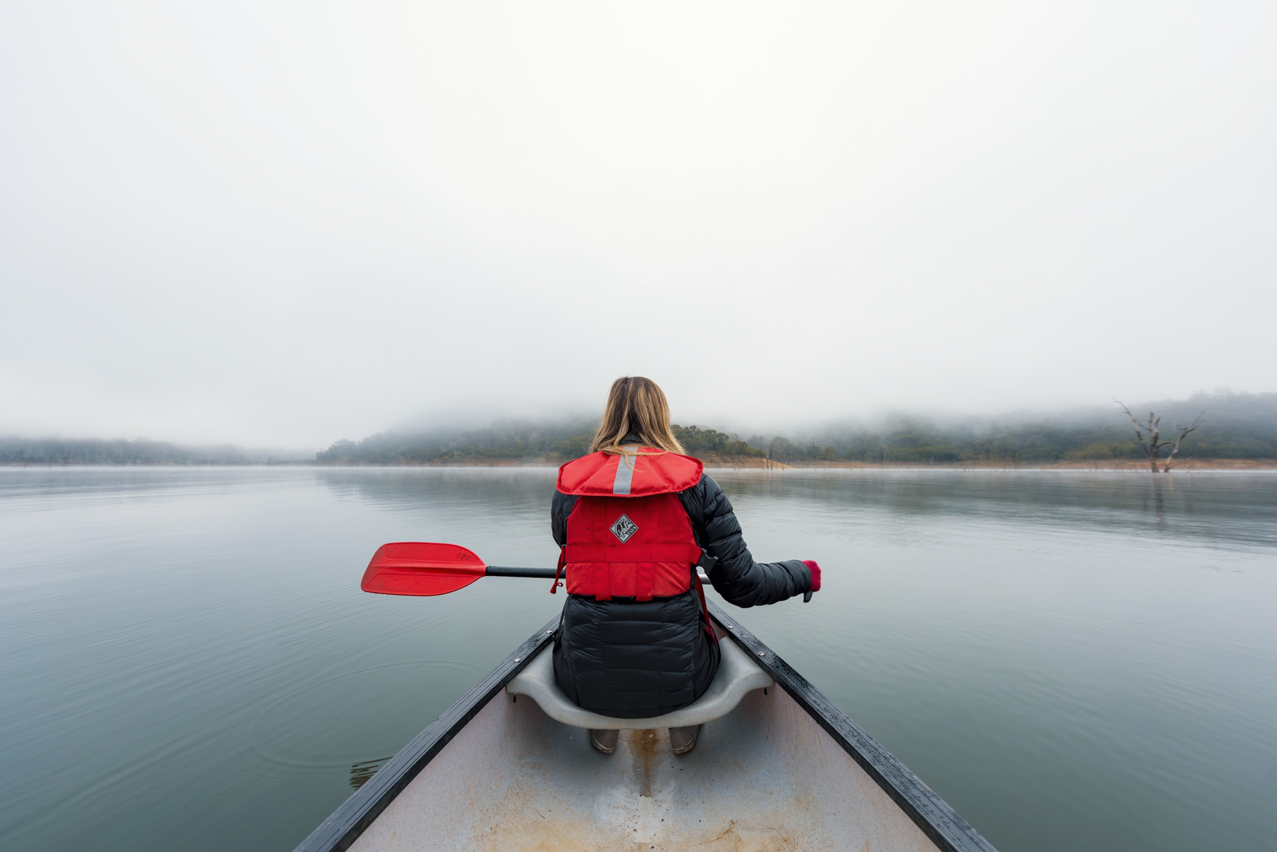
The Outdoor Education Group's Research and Development team are responsible for designing our much-loved programs. From single-day camp experiences, multi-night journeys to 30-day expeditions, they create the incredible outlines allowing our participating students to canoe along the Murray, bushwalk Kosciuszko National Park, surf at Robe, or venture out into the Western Australian outback. Their vision and expert knowledge bring our programs to life. But sometimes, they must explore uncharted waters to find the best venues where we can deliver the greatest impact!
WE'RE ALWAYS EXPLORING
We offer signature programs in Victoria, New South Wales and South Australia; these are a collection of our most sought-after experiences forming the cornerstone of our delivery. For example, climbing at the Grampians, canoeing the Hawkesbury River and cycling around the Yorke Peninsula. We know these venues like the back of our hands!
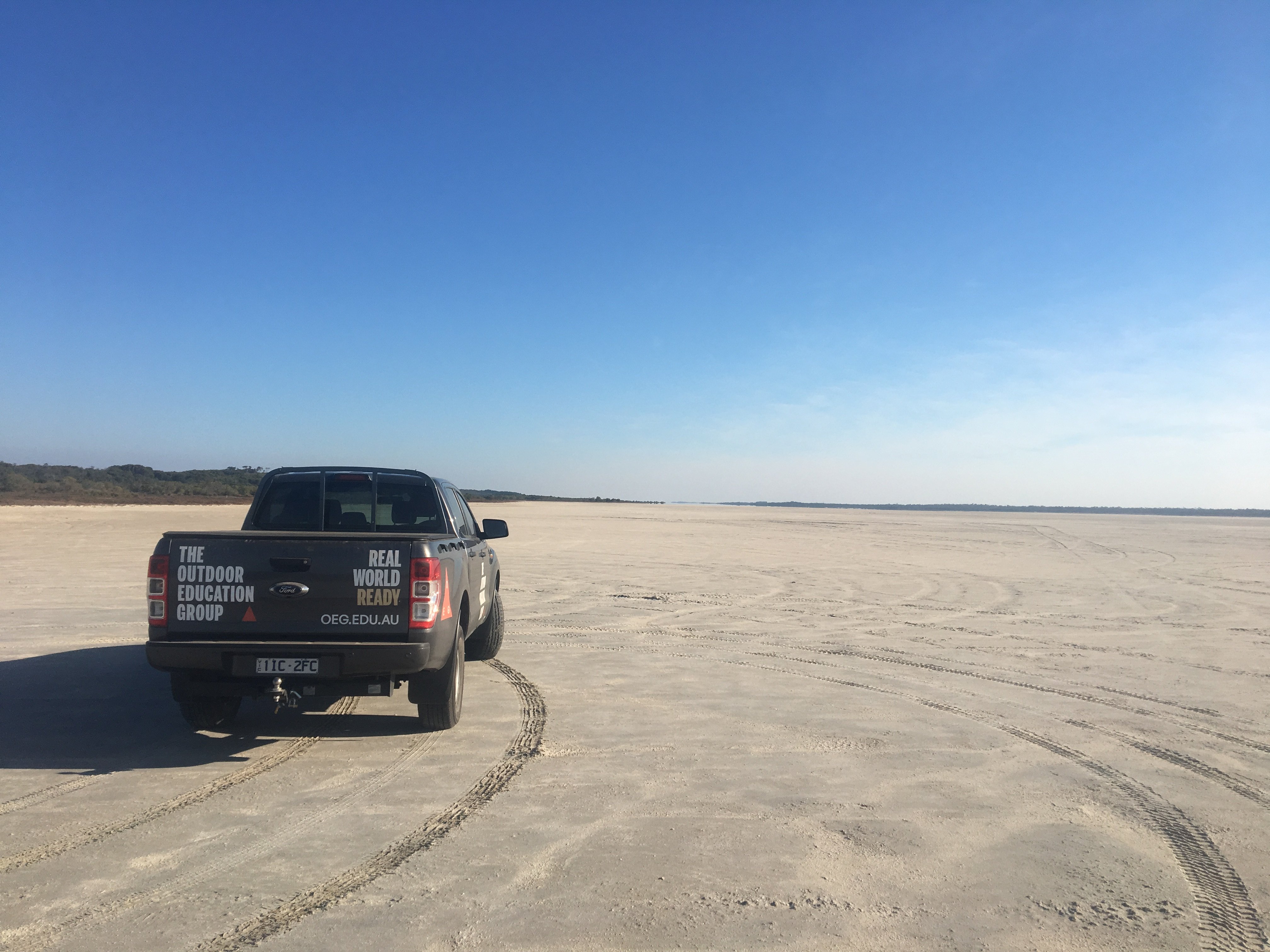
We develop new venue areas when the current areas we work in don't meet our needs or there’s changing environmental impact, or when we recognise there are new products we can deliver. We call on our Research and Development team to support the school's needs by exploring other options, which is lucky because they love exploring! We call this exploring reconnaissance or recce for short.
WHAT IS A RECCE?
Recces are performed to identify and document details about a potential new venue supporting risk management, program design, and group safety once the program begins. Our Research and Development team steer the direction of what and where we plan to investigate through a recce.
Firstly, the team conduct a desktop recce to collate information from all available sources and assess whether an area is viable for development; this is often reliant on campsite availability. With adequate camping options, we can determine the potential capacity for an area and start looking at the unique natural features accentuating the landscape.
Until we strap our boots on and perform the recce, all the information we have gathered only provides a 2-dimensional map. It's vital we understand the way things on the ground connect to each other for groups who may be travelling by canoe, bicycle or foot, our logistics team who may be travelling by vehicle and by schools who likely travel by coach.
Once all desktop research is complete and a plan is established, much like our school programs, we develop an outline, allocate resources, including equipment, vehicle, staff, and catering.
WE PACK OUR BACKPACKS
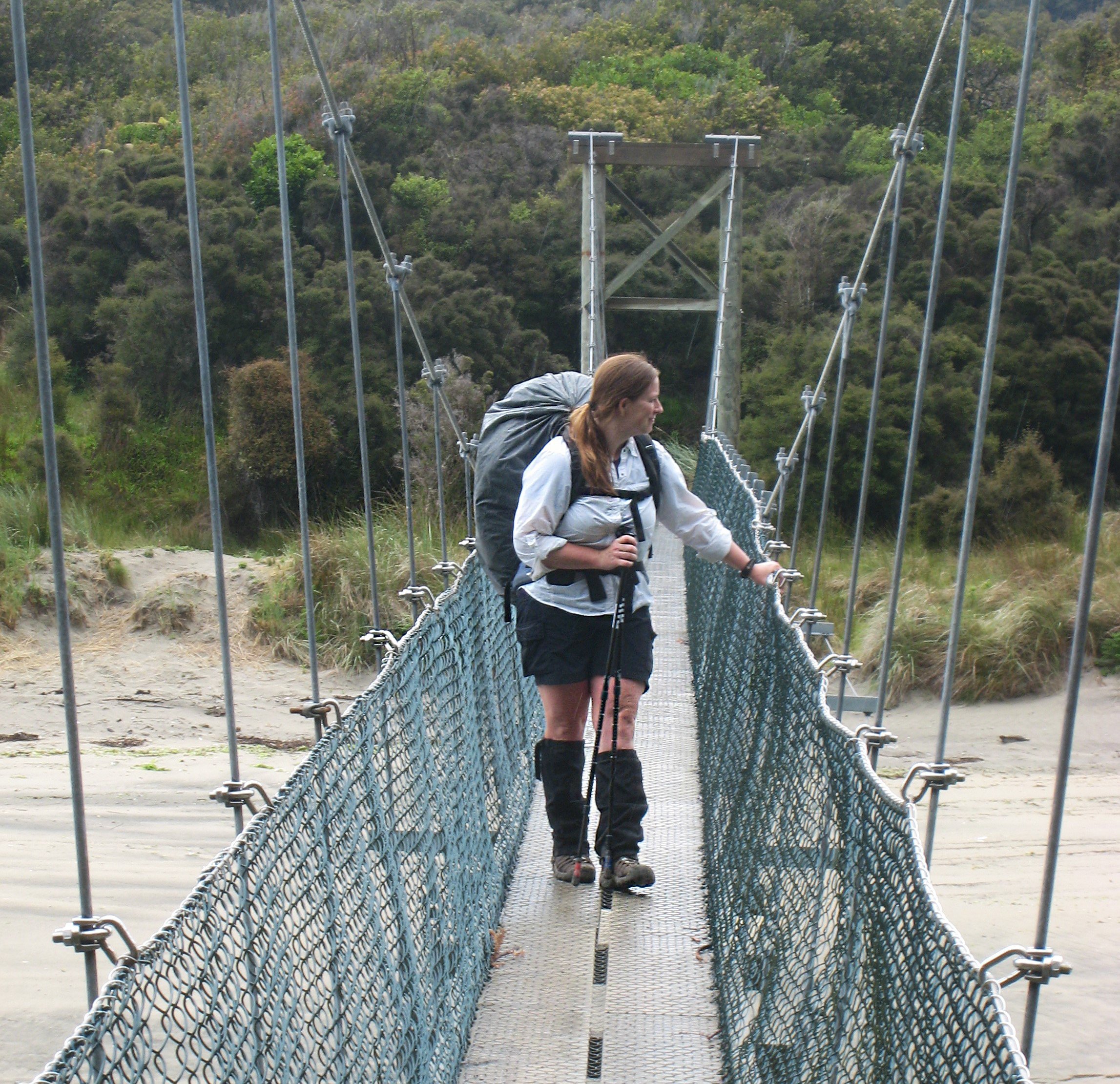
A member of our Research and Development team carries out the recce with the support of activity specialists as required. The Research and Development team expert provides oversight and management to ensure everything they need to design a program is ground-proofed. Meaning the program is performed by our expert step by step.
The activity specialist identifies and documents activity routes, equipment needed, and venue-specific hazards or obstacles encountered during the activity. For example, if we are assessing a new venue which includes a stretch of canoeing, our qualified canoe specialist will identify the suitability of the area by taking the same route the students would take.
WHAT ARE WE LOOKING FOR?
Through recces, we determine not only if a venue might be somewhere schools might like to utilise, but it must meet all our criteria.
One of the most essential elements for us is to confirm campsites because if there's nowhere to camp overnight, the venue doesn't work for multi-day journeys. We document campsite appropriateness for school groups by identifying toilet facilities, tree hazards, water sources, and the strength of our comms signals. This way, we can resource our programs correctly, outfit our leaders with satellite phones if needed, or provide water drops if there is no local source available.
We check radios in areas that have a repeater to ensure the signal can be transmitted beyond the line of sight. We work with:
- mobile phones where signals are known and consistent.
- satellite phones in areas where mobile reception is patchy or irregular
- personal locator beacons in venues where satellite phone reception can sometimes fail due to geography and cloud cover
- and always an InReach device as a standard second communication device for redundancy
We always assess vehicle access wherever we go. It is essential to ensure a coach has room to safely drop off students and turn around without getting bogged. It's also important for loading or unloading bikes, canoes and other equipment we might use during the program.
Many national parks have seasonal gate closures restricting access, and we need to plan around those types of obstacles. Access routes are also important for supporting groups when emergency evacuations are required. We must know ahead of time how to access a campsite in case our Coordinators need to evacuate anyone.
RECCES ARE A TEAM EFFORT
In collaboration with our Compliance Team, the Research and Development team has developed a data collection system, pre-populated using the earlier desktop research to guide the work on the ground. We list out all the locations before going on the recce, which helps build an outline for what we aim to accomplish during the recce itself.
By the time the recce is finished, our team has gathered all the answers to questions our other team members or schools might have about how a program is run in the area. For example, our Program Coordinators must know the route to the nearest hospital, our Client Program Managers must be able to speak to schools about toilet facilities and where their coaches need to navigate to, and our Outdoor Educators need to know precisely where their campsites are and the routes to get there. All this information and much more is gathered during the recce. And when we say 'much more', we mean it! We have a database of over 4,000 toilets, nationally!
During and after the recce, Research and Development complete the data sheets and sends them back to the Compliance Team. The information is added to our administrative practices, including activity ratios aligned with the Australian Activity Standards. Compliance submits an application to Parks Australia to include the venue in our license and the activities we've identified at the new venue.
Finally, location data is entered into our venue management platform, including everything from latitude and longitude points to the types of toilets at campsites. Having this information available at our fingertips enables all our teams to access venue details and make informed decisions for programs nationally.
In the past 5 years, some of the areas we have conducted recces in are:
- Yanchep National Park, WA
- Ninghan Station, WA
- Remarkables, SA
- Robe, SA
- Warrenbungles, NSW
- Yarriabini National Park, NSW
- Great Southwest and Cobboboonee National Park, VIC
- Snowy River, VIC
- Maria Island, TAS
- Freycinet National Park, TAS
- Litchfield, NT
- Kakadu, NT
- Brockman Plateau, NT
OUR FAVOURITE RECCE MOMENTS
Karin Burroughs, National Resource and Design Coordinator, remembers her most amazing recces. "This particular recce covered Maria Island, Port Arthur, and Mount Field, Tasmania. I was astounded by the lush, old-growth forest and hidden waterfalls tucked into ferny groves dotted with glow worms. If fairies and elves live anywhere in Tasmania, this would be the spot! I hiked all the tracks in Mount Field, but the two that stood out as dichotomous opposites were the K Col Track that skirted the northern alpine rim above Tarn Shelf, and Lake Belcher, where I have sworn to never visit again nor ever send school groups there, ever.
K Col was the most stunning, surreal landscape of alpine bogs covered in ice sheets and spring wildflowers. Although not for the faint of heart, I'd recommend this walk for all naturalists, photographers, and anyone ready to balance the rewards of a long, scenic, and potentially unpredictable hike.
On the other hand, the Lake Belcher track offers walkers an opportunity to pick their way through the incredible pandani forest, where the trees are razor-sharp and will cut through skin. Although Lake Belcher Track is clearly identified on a map, ground-truthing proved it to be less than ideal. Button grass, sedges and coral fern grow in thickets obscuring the ground, awash with pools of water and deep mud. Not a single step was made with elegance, but instead trepidation that the next step might be into a bottomless pit with no escape. Did I mention snakes? I won't be designing any school programs with Lake Belcher in the outline."
WHERE TO NEXT?
Over the past 5 years, our Research and Development team has conducted about 5 recces per year. Our Risk team has also completed their own to provide compliance updates for existing venues impacted by floods or bushfires.
We're always on the move. Western Australia and the Northern Territory are our next target areas! With so many incredible natural spaces in both states, we're keen to define some exciting new spots to ensure schools have great venues for their experiences with us.
As our team continues to explore, our catalogue of offerings expands. Discover centre-based camps, journeys and outdoor education experiences in stunning and unique learning environments near you.
